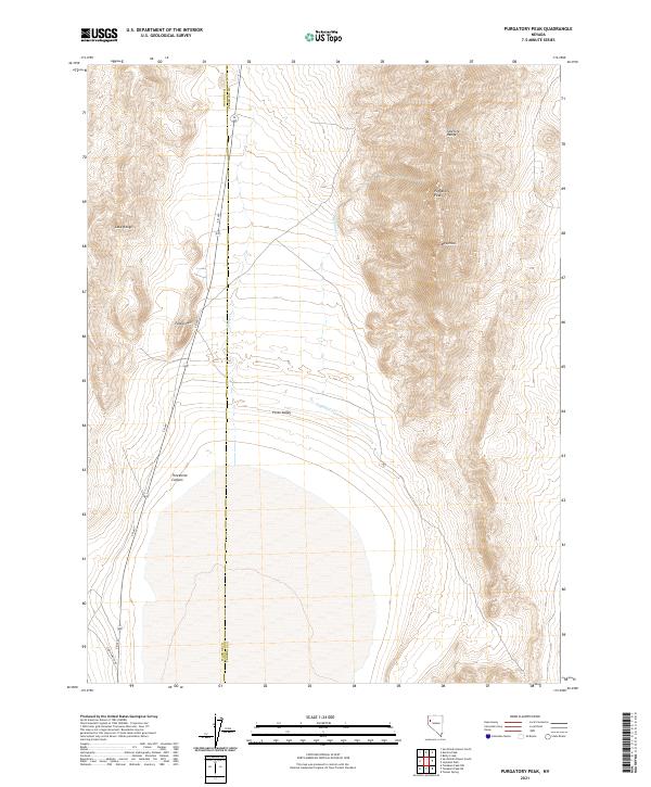
2021 Map of Purgatory Peak
USGS Topo · Published 2021About this map
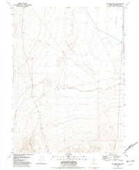
The Selenite Range and Lake Range dominate this high-desert corridor of the Great Basin, where the county line separates Washoe and Pershing. This 2021 survey illustrates a landscape of extreme verticality, punctuated by the dramatic rise of Mt Limbo and Purgatory Peak. The terrain falls away into the Poito Valley, a broad expanse through which Jayhawk Cr and Benny Cr drain.
Find a feature on this map
16 named features on this map. Tap any name to fly to it.
Don’t see what you’re looking for? This feature index may not catch every label — zoom into the map to look around manually.
Map Details
Editions of this 2021 Purgatory Peak Map
This is the sole edition of this map. No revisions or reprints were ever made.
Other maps of this area

1886 · Granite Range
USGS Topo · 1:250,000

1894 · Granite Range
USGS Topo · 1:250,000

1955 · Lovelock
USGS Topo · 1:250,000

1959 · Lovelock
USGS Topo · 1:250,000
1964 · Tohakum Peak NE
USGS Topo · 1:24,000

1964 · Tohakum Peak NW
USGS Topo · 1:24,000

1964 · Kumiva Peak
USGS Topo · 1:62,500
1981 · Tunnel Spring
USGS Topo · 1:24,000
1981 · Betty Creek
USGS Topo · 1:24,000
1981 · Jayhawk Well
USGS Topo · 1:24,000