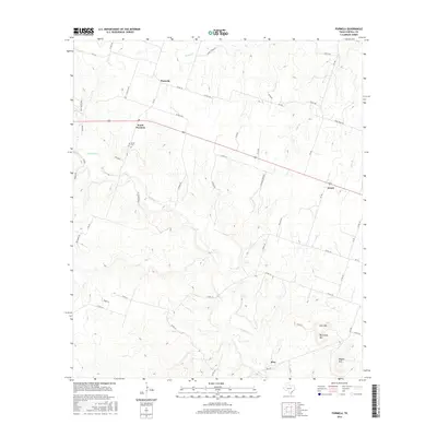
2016 Map of Purmela
USGS Topo · Published 2016About this map
Purmela and South Purmela sit within a landscape of carved creek valleys and prominent uplands in Coryell County. The area's topography is defined by the winding course of Cowhouse Creek, which is fed by numerous tributaries including Honey Creek, Bee Creek, and Camp Branch. These watercourses have shaped the terrain, leaving behind distinct elevations such as Culp Mountain, McCluskey Mountain, and Bagget Mountain in the southeast portion of the quadrangle.
Find a feature on this map
57 named features on this map. Tap any name to fly to it.
Don’t see what you’re looking for? This feature index may not catch every label — zoom into the map to look around manually.
Map Details
Editions of this 2016 Purmela Map
This is the sole edition of this map. No revisions or reprints were ever made.
Other maps of this area
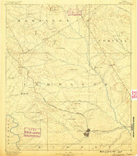
1887 · Lampasas
USGS Topo · 1:125,000
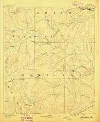
1888 · Hamilton
USGS Topo · 1:125,000
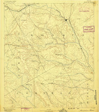
1888 · Meridian
USGS Topo · 1:125,000
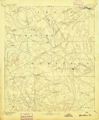
1894 · Hamilton
USGS Topo · 1:125,000
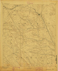
1894 · Meridian
USGS Topo · 1:125,000
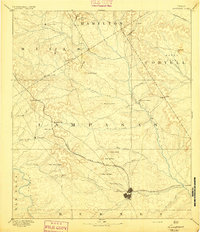
1894 · Lampasas
USGS Topo · 1:125,000
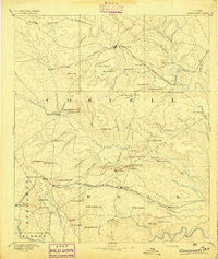
1894 · Gatesville
USGS Topo · 1:125,000
1947 · Purmela
USGS Topo · 1:62,500
1947 · Gatesville West
USGS Topo · 1:24,000
1947 · Pidcoke
USGS Topo · 1:24,000