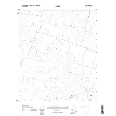
2019 Map of Purmela
USGS Topo · Published 2019About this map
Purmela and South Purmela anchor the northern reaches of this central Texas landscape, where the drainage of Cowhouse Cr carves a winding path through the limestone-inflected terrain of Coryell County. This modern survey reflects the enduring rural structure of the region, where family-named landmarks like the Smith Cem and high points such as McCluskey Mtn and Bagget Mtn define the local geography. The settlement at Arnett sits at the intersection of a network of county roads and farm-to-market routes that connect these small communities. The map highlights the seasonal watercourses feeding the Leon River watershed, including Bee Cr, Honey Cr, and Camp Br. This documentation reveals a landscape of working ranches and scattered homesteads, maintaining a settlement pattern that has changed little since the early twentieth century.
Find a feature on this map
60 named features on this map. Tap any name to fly to it.
Don’t see what you’re looking for? This feature index may not catch every label — zoom into the map to look around manually.
Map Details
Editions of this 2019 Purmela Map
This is the sole edition of this map. No revisions or reprints were ever made.
Other maps of this area

1887 · Lampasas
USGS Topo · 1:125,000

1888 · Hamilton
USGS Topo · 1:125,000

1888 · Meridian
USGS Topo · 1:125,000

1894 · Hamilton
USGS Topo · 1:125,000

1894 · Meridian
USGS Topo · 1:125,000

1894 · Lampasas
USGS Topo · 1:125,000

1894 · Gatesville
USGS Topo · 1:125,000

1947 · Purmela
USGS Topo · 1:62,500

1947 · Gatesville West
USGS Topo · 1:24,000

1947 · Pidcoke
USGS Topo · 1:24,000