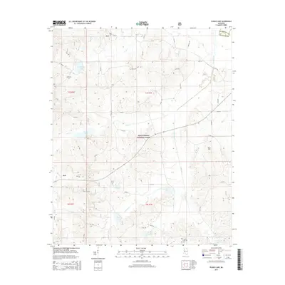
2015 Map of Puskus Lake
USGS Topo · Published 2015About this map
Holly Springs National Forest encompasses much of this terrain in northern Mississippi, where the headwaters of the Little Tallahatchie River system create a complex network of creeks and small impoundments. Significant water bodies like Puskus Lake, Cypress Lake, and Cambridge Lake punctuate the landscape, serving as central landmarks for the surrounding rural communities. These small settlements, including Keel and Burt, are connected by a web of county roads such as Co RD 244 and Co RD 245. Genealogists will find a wealth of burial sites scattered throughout the area, from Jefferson Cem and Pine Grove Cem near Keel to Liberty Hill Cem and Shiloh Cem further north. The map documents the persistent rural character of Lafayette County and Marshall County, where small family-named sites like Rook Hill and various community cemeteries remain the primary markers of local heritage.
Find a feature on this map
56 named features on this map. Tap any name to fly to it.
Don’t see what you’re looking for? This feature index may not catch every label — zoom into the map to look around manually.
Map Details
Editions of this 2015 Puskus Lake Map
This is the sole edition of this map. No revisions or reprints were ever made.
Other maps of this area

1942 · Denmark
USGS Topo · 1:62,500

1943 · Denmark
USGS Topo · 1:62,500

1944 · Potts Camp
USGS Topo · 1:62,500

1945 · Potts Camp
USGS Topo · 1:62,500

1949 · New Albany
USGS Topo · 1:62,500

1951 · New Albany
USGS Topo · 1:62,500

1955 · Blue Mountain
USGS Topo · 1:62,500

1956 · Tupelo
USGS Topo · 1:250,000

1958 · Tupelo
USGS Topo · 1:250,000
1980 · Thaxton
USGS Topo · 1:24,000