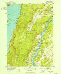
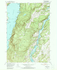
1950 Map of Putnam
USGS Topo · Published 1952About this map
Lake George and Lake Champlain define the eastern and western boundaries of this landscape, where the ridges of Spruce Mtn and Hogback Mtn rise between these two storied waterways. The terrain is marked by the narrow corridor of the Delaware and Hudson railroad as it skirts the western edge of Lake Champlain through The Narrows. This mid-century survey illustrates the rural infrastructure of Washington County, documenting the concentration of settlement at Putnam and the smaller depot at Putnam Sta. Local life is anchored by landmarks like Putnam Ch and the Swale Sch, while the lakefronts show a mix of recreation and transport, from the Arcady Country Club on Lake George to the landing at Chubbs Dock on the Champlain side. Along the shoreline, named points and bays such as Bluff Head and Red Rock Bay reveal the detailed coastal geography used by boaters and residents alike.
Find a feature on this map
69 named features on this map. Tap any name to fly to it.
Don’t see what you’re looking for? This feature index may not catch every label — zoom into the map to look around manually.
Map Details
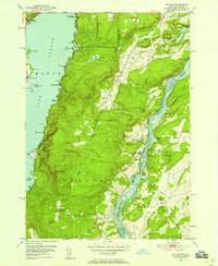
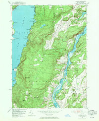
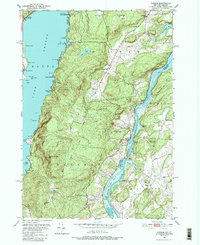
Editions of this 1950 Putnam Map
5 editions found
Other maps of this area

1893 · Whitehall
USGS Topo · 1:62,500

1894 · Ticonderoga
USGS Topo · 1:62,500

1895 · Whitehall
USGS Topo · 1:62,500

1895 · Paradox Lake
USGS Topo · 1:62,500

1896 · Ticonderoga
USGS Topo · 1:62,500

1897 · Bolton
USGS Topo · 1:62,500

1897 · Paradox Lake
USGS Topo · 1:62,500

1898 · Whitehall
USGS Topo · 1:62,500

1900 · Bolton
USGS Topo · 1:62,500

1902 · Whitehall
USGS Topo · 1:62,500