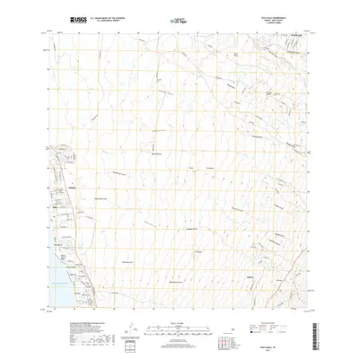
2017 Map of Puu O Kali
USGS Topo · Published 2017About this map
The coastal settlement of Kihei anchors the western edge of this Maui landscape, where the shoreline at Charley Young Beach meets a dense network of residential streets and local landmarks. This area includes the Lihu‘e Cemetery and neighborhoods like Kama‘ole and Waimahaihai. Moving inland, the terrain rises sharply toward the interior volcanic slopes, cut by numerous deep drainage features such as Pūlehu Gulch, Kūlanihāko‘i Gulch, and Waipu‘ilani Gulch.
Find a feature on this map
81 named features on this map. Tap any name to fly to it.
Don’t see what you’re looking for? This feature index may not catch every label — zoom into the map to look around manually.
Map Details
Editions of this 2017 Puu O Kali Map
This is the sole edition of this map. No revisions or reprints were ever made.
Other maps of this area

1954 · Maui
USGS Topo · 1:250,000

1954 · Maalaea
USGS Topo · 1:24,000

1954 · Paia
USGS Topo · 1:24,000

1954 · Puu O Kali
USGS Topo · 1:24,000

1954 · Makena
USGS Topo · 1:24,000

1955 · Wailuku
USGS Topo · 1:24,000

1957 · Kilohana
USGS Topo · 1:24,000

1957 · Haiku
USGS Topo · 1:24,000

1957 · Lualailua Hills
USGS Topo · 1:24,000

1966 · Maui
USGS Topo · 1:250,000