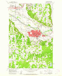
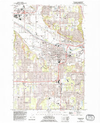
1961 Map of Puyallup
USGS Topo · Published 1962About this map
The Puyallup River corridor in the early 1960s reveals a landscape defined by its agricultural roots and expanding industrial footprint. This era captures Puyallup and Sumner as critical hubs, where the Northern Pacific and Great Northern rail lines converge near the Western Washington Experimental Station. The map highlights the area's educational and social infrastructure, featuring numerous local schools like Karshner Sch and Linden Lane Sch, alongside community spaces such as the Fairgrounds and Linden Country Club. To the north and west, the terrain transitions into a more rural and industrial mix, dotted with numerous Gravel Pits and the winding course of Wapato Creek. Notable historical landmarks, including the Fort Maloney Historical Marker, provide depth for researchers studying the mid-century development of Pierce County before the intense urbanization of the following decades.
Find a feature on this map
65 named features on this map. Tap any name to fly to it.
Don’t see what you’re looking for? This feature index may not catch every label — zoom into the map to look around manually.
Map Details
Editions of this 1961 Puyallup Map
5 editions found
Other maps of this area

1897 · Tacoma
USGS Topo · 1:125,000

1900 · Tacoma
USGS Topo · 1:125,000

1941 · Tacoma South
USGS Topo · 1:62,500

1942 · Lake Tapps
USGS Topo · 1:62,500

1944 · Lake Tapps
USGS Topo · 1:62,500

1944 · Tacoma South
USGS Topo · 1:62,500

1949 · Tacoma North
USGS Topo · 1:24,000

1949 · Poverty Bay
USGS Topo · 1:24,000

1949 · Auburn
USGS Topo · 1:24,000

1956 · Orting
USGS Topo · 1:24,000