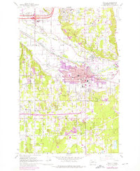
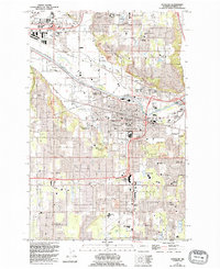
1961 Map of Puyallup
USGS Topo · Published 1976About this map
The Puyallup Valley serves as the industrial and agricultural heart of this 1960s Pierce County landscape, centered on the city of Puyallup. The river plain is defined by a dense transportation network, where the Union Pacific and Burlington Northern lines intersect with the Pacific Highway. Notable institutional landmarks include the Fairgrounds and the Western Washington Experimental Station, reflecting the area's transition from traditional farming toward suburban and regional service centers.
Find a feature on this map
57 named features on this map. Tap any name to fly to it.
Don’t see what you’re looking for? This feature index may not catch every label — zoom into the map to look around manually.
Map Details
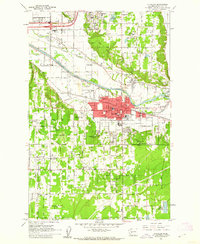
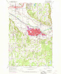
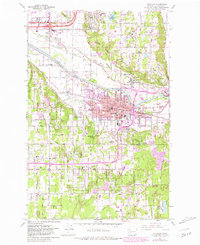
Editions of this 1961 Puyallup Map
5 editions found
Other maps of this area

1897 · Tacoma
USGS Topo · 1:125,000

1900 · Tacoma
USGS Topo · 1:125,000

1941 · Tacoma South
USGS Topo · 1:62,500

1942 · Lake Tapps
USGS Topo · 1:62,500

1944 · Lake Tapps
USGS Topo · 1:62,500

1944 · Tacoma South
USGS Topo · 1:62,500

1949 · Tacoma North
USGS Topo · 1:24,000

1949 · Poverty Bay
USGS Topo · 1:24,000

1949 · Auburn
USGS Topo · 1:24,000

1956 · Orting
USGS Topo · 1:24,000