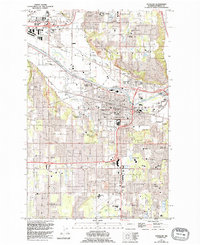
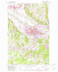
1961 Map of Puyallup
USGS Topo · Published 1995About this map
Puyallup and its neighboring valley communities are documented here during a period of significant suburban and commercial transition in Pierce County. The landscape is defined by the broad path of the Puyallup River and the historical roots of the valley, evidenced by the Fort Maloney Historical Marker and the expansive Western Washington State Fair Grounds. While agriculture remains represented by the Washington State Univ Puyallup Research And Extension Center, the growth of the late 20th century is clearly visible in the development of the South Hill Mall and the establishment of Pierce College.
Find a feature on this map
78 named features on this map. Tap any name to fly to it.
Don’t see what you’re looking for? This feature index may not catch every label — zoom into the map to look around manually.
Map Details
Editions of this 1961 Puyallup Map
5 editions found
Other maps of this area

1897 · Tacoma
USGS Topo · 1:125,000

1900 · Tacoma
USGS Topo · 1:125,000

1941 · Tacoma South
USGS Topo · 1:62,500

1942 · Lake Tapps
USGS Topo · 1:62,500

1944 · Lake Tapps
USGS Topo · 1:62,500

1944 · Tacoma South
USGS Topo · 1:62,500

1949 · Tacoma North
USGS Topo · 1:24,000

1949 · Poverty Bay
USGS Topo · 1:24,000

1949 · Auburn
USGS Topo · 1:24,000

1956 · Orting
USGS Topo · 1:24,000