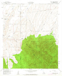
1958 Map of Pyeatt Ranch
USGS Topo · Published 1963About this map
The Huachuca Mountains dominate the southern half of this landscape, where the rugged topography is split between the Coronado National Forest and the Fort Huachuca Military Reservation. This survey captures a network of working ranchlands and remote mining operations established along the base of the mountains during the mid-20th century. Named family holdings like Pyeatt Ranch, Becker Ranch, and the Swinging H Ranch are linked by canyon roads and primitive trails.
Find a feature on this map
59 named features on this map. Tap any name to fly to it.
Don’t see what you’re looking for? This feature index may not catch every label — zoom into the map to look around manually.
Map Details
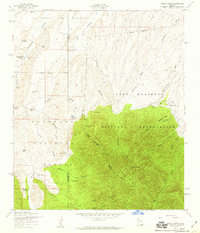
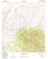
Editions of this 1958 Pyeatt Ranch Map
3 editions found
Other maps of this area

1904 · Patagonia
USGS Topo · 1:125,000

1905 · Patagonia
USGS Topo · 1:125,000

1905 · Nogales
USGS Topo · 1:125,000

1914 · Hereford
USGS Topo · 1:125,000

1915 · Benson
USGS Topo · 1:125,000

1922 · Sunnyside
USGS Topo · 1:62,500

1932 · Lochiel
USGS Topo · 1:62,500

1932 · Elgin
USGS Topo · 1:62,500

1938 · Huachuca
USGS Topo · 1:62,500

1938 · Sunnyside
USGS Topo · 1:62,500