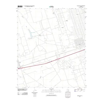
2010 Map of Pyote East
USGS Topo · Published 2010About this map
Wickett and the eastern edge of Pyote define the human landscape of this West Texas Permian Basin corridor during the early 21st century. The map illustrates an economy deeply rooted in energy extraction, dominated by the extensive grids of the South Sealy Oil Field and the Wickett South Oil Field. This industrial infrastructure is superimposed over a desert landscape where water management remains critical, evidenced by the presence of the Monument Pond Dam and Monument Pond situated along Monument Draw. Beyond the primary settlements, the land is marked by isolated landmarks like the Half h Windmill and Tie Ranch, reflecting the area's dual identity as both an oil-producing hub and a traditional ranching territory. Transportation is anchored by the primary corridor of State Spur 57, which links these small communities across the arid terrain.
Find a feature on this map
18 named features on this map. Tap any name to fly to it.
Don’t see what you’re looking for? This feature index may not catch every label — zoom into the map to look around manually.
Map Details
Editions of this 2010 Pyote East Map
This is the sole edition of this map. No revisions or reprints were ever made.
Other maps of this area

1931 · Barstow
USGS Topo · 1:125,000

1954 · Pecos
USGS Topo · 1:250,000

1957 · Pecos
USGS Topo · 1:250,000

1963 · China Lake NE
USGS Topo · 1:24,000

1963 · China Lake
USGS Topo · 1:24,000

1968 · Wink South
USGS Topo · 1:24,000

1968 · China Ranch
USGS Topo · 1:24,000

1969 · Pyote NE
USGS Topo · 1:24,000

1969 · Pyote East
USGS Topo · 1:24,000

1969 · Monahans
USGS Topo · 1:24,000