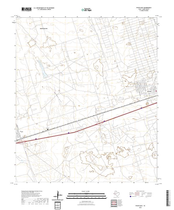
2022 Map of Pyote East
USGS Topo · Published 2022About this map
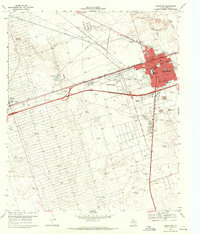
Pyote and Wickett anchor this stretch of the West Texas landscape in Ward County, situated along the corridor between Monahans and the Pecos River valley. The map documents a structured grid of residential streets in Wickett, including Junction Ave, Houston Ave, and Graham Ave, which stand in contrast to the surrounding open terrain defined by ephemeral drainage patterns like Monument Draw.
Find a feature on this map
41 named features on this map. Tap any name to fly to it.
Don’t see what you’re looking for? This feature index may not catch every label — zoom into the map to look around manually.
Map Details
Editions of this 2022 Pyote East Map
This is the sole edition of this map. No revisions or reprints were ever made.
Other maps of this area
1931 · Barstow
USGS Topo · 1:125,000

1954 · Pecos
USGS Topo · 1:250,000

1957 · Pecos
USGS Topo · 1:250,000
1963 · China Lake NE
USGS Topo · 1:24,000
1963 · China Lake
USGS Topo · 1:24,000
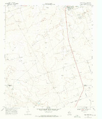
1968 · Wink South
USGS Topo · 1:24,000
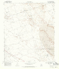
1968 · China Ranch
USGS Topo · 1:24,000
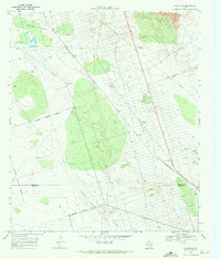
1969 · Pyote NE
USGS Topo · 1:24,000
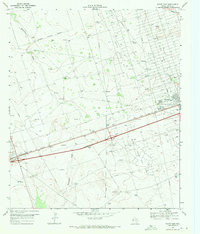
1969 · Pyote East
USGS Topo · 1:24,000
1969 · Monahans
USGS Topo · 1:24,000