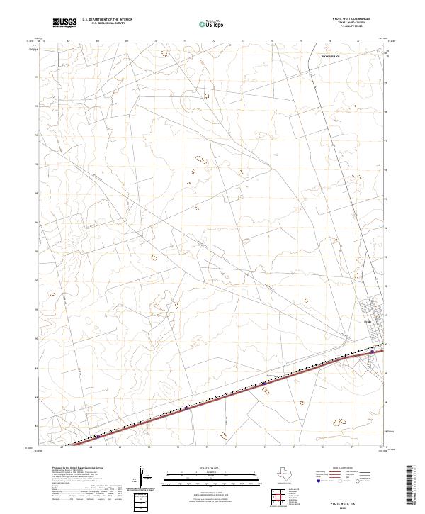
2022 Map of Pyote West
USGS Topo · Published 2022About this map
Pyote serves as the primary settlement on this West Texas landscape, positioned where the local street grid intersects the major east-west transportation corridor. The town layout is clearly defined by historical thoroughfares like Ward St and Pyote St, illustrating the concentrated development characteristic of this region of Ward County. To the west, the expansive Pyote Flats dominate the terrain, a low-lying area that underscores the arid geography of the Permian Basin. This modern survey shows a complex web of rural infrastructure, including Ranch Rd 2355 and several county roads such as Co Rd 128 and Co Rd 4550. These routes connect remote industrial or agricultural sites across the plains, while the northern edge of the map reaches into the southern portion of the Monahans area, known for its distinctive sandy deposits.
Find a feature on this map
19 named features on this map. Tap any name to fly to it.
Don’t see what you’re looking for? This feature index may not catch every label — zoom into the map to look around manually.
Map Details
Editions of this 2022 Pyote West Map
This is the sole edition of this map. No revisions or reprints were ever made.
Other maps of this area

1931 · Barstow
USGS Topo · 1:125,000

1954 · Pecos
USGS Topo · 1:250,000

1957 · Pecos
USGS Topo · 1:250,000

1963 · Quito Draw
USGS Topo · 1:24,000

1963 · China Lake NE
USGS Topo · 1:24,000

1963 · China Lake
USGS Topo · 1:24,000

1968 · Soda Lake SE
USGS Topo · 1:24,000

1968 · Wink South
USGS Topo · 1:24,000

1968 · Soda Lake NE
USGS Topo · 1:24,000

1969 · Pyote NE
USGS Topo · 1:24,000