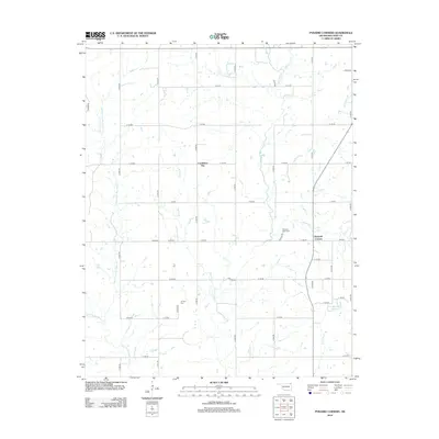
2012 Map of Pyramid Corners
USGS Topo · Published 2012About this map
Pyramid Corners and Cocklebur Flat define the rural character of this Craig County landscape, where agriculture and hydrology shape the layout of the land. The terrain is intricately carved by the tributaries of the Big Cabin Creek system, including the Middle Fork Big Cabin Cr, W Fork Big Cabin Cr, and the main stem of Big Cabin Creek. These waterways, along with smaller branches like Frazier Br and McDonald Br, create a dense network of drainage that dictates the placement of section-line roads and homesteads. Local history is anchored by the Pleasant Valley Cem and W Point Cem, which serve as vital markers for genealogical research in this sparsely populated region. The presence of the Dick Melendy Reservoir in the southeast quadrant reflects modern water management alongside traditional creek names like Whiskey Br and Craig Cr.
Find a feature on this map
39 named features on this map. Tap any name to fly to it.
Don’t see what you’re looking for? This feature index may not catch every label — zoom into the map to look around manually.
Map Details
Editions of this 2012 Pyramid Corners Map
This is the sole edition of this map. No revisions or reprints were ever made.
Other maps of this area

1901 · Vinita
USGS Topo · 1:125,000

1913 · Vinita
USGS Topo · 1:125,000

1954 · Tulsa
USGS Topo · 1:250,000

1958 · Tulsa
USGS Topo · 1:250,000

1963 · Tulsa
USGS Topo · 1:250,000
1971 · Pyramid Corners
USGS Topo · 1:24,000
1971 · Welch North
USGS Topo · 1:24,000
1971 · Vinita
USGS Topo · 1:24,000
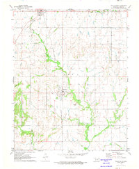
1971 · Welch South
USGS Topo · 1:24,000
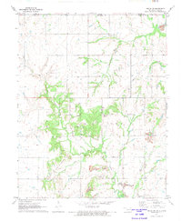
1971 · Welch NW
USGS Topo · 1:24,000