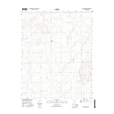
2016 Map of Pyramid Corners
USGS Topo · Published 2016About this map
Big Cabin Creek and its many tributaries, including the Middle Fork Big Cabin Cr and Whiskey Br, define the drainage patterns of this northern Oklahoma landscape in Craig County. The terrain is characterized by broad expanses like Cocklebur Flat, while Timber Hill rises as a distinct topographical feature to the east. Human settlement is centered around the small community of Pyramid Corners, situated near the intersection of local section-line roads. Genealogists and local historians can locate several important sites across the quadrangle, including the Pleasant Valley Cem and West Point Cem. The map also documents modern water management through the Dick Melendy Reservoir, which captures flows from Mill Cr in the southeastern portion of the survey area.
Find a feature on this map
41 named features on this map. Tap any name to fly to it.
Don’t see what you’re looking for? This feature index may not catch every label — zoom into the map to look around manually.
Map Details
Editions of this 2016 Pyramid Corners Map
This is the sole edition of this map. No revisions or reprints were ever made.
Other maps of this area

1901 · Vinita
USGS Topo · 1:125,000

1913 · Vinita
USGS Topo · 1:125,000

1954 · Tulsa
USGS Topo · 1:250,000

1958 · Tulsa
USGS Topo · 1:250,000

1963 · Tulsa
USGS Topo · 1:250,000
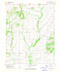
1971 · Pyramid Corners
USGS Topo · 1:24,000
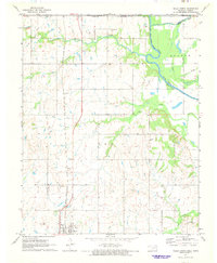
1971 · Welch North
USGS Topo · 1:24,000
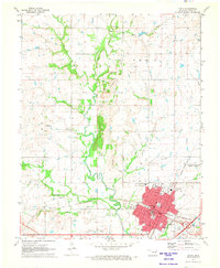
1971 · Vinita
USGS Topo · 1:24,000
1971 · Welch South
USGS Topo · 1:24,000
1971 · Welch NW
USGS Topo · 1:24,000