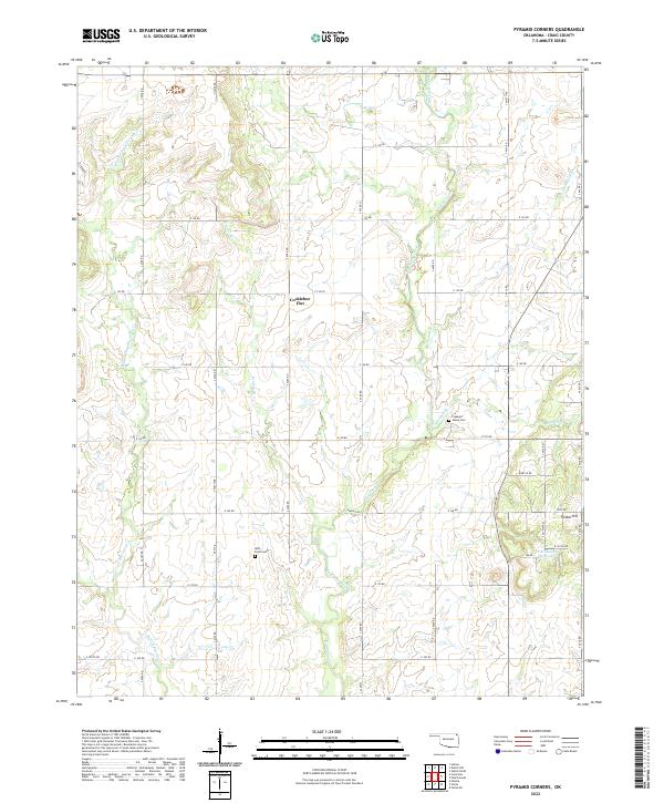
2022 Map of Pyramid Corners
USGS Topo · Published 2022About this map
Big Cabin Creek and its many tributaries, including the Middle Fork Big Cabin Cr and W Fork Big Cabin Cr, define the drainage patterns across this section of Craig County. The landscape is characterized by its rural infrastructure, with a systematic grid of section roads like NS4370 Rd and E 140 Rd providing access to remote homesteads and agricultural plots. Higher ground is noted at Timber Hill in the southeast and the open expanse of Cocklebur Flat to the north.
Find a feature on this map
50 named features on this map. Tap any name to fly to it.
Don’t see what you’re looking for? This feature index may not catch every label — zoom into the map to look around manually.
Map Details
Editions of this 2022 Pyramid Corners Map
This is the sole edition of this map. No revisions or reprints were ever made.
Other maps of this area

1901 · Vinita
USGS Topo · 1:125,000

1913 · Vinita
USGS Topo · 1:125,000

1954 · Tulsa
USGS Topo · 1:250,000

1958 · Tulsa
USGS Topo · 1:250,000

1963 · Tulsa
USGS Topo · 1:250,000
1971 · Pyramid Corners
USGS Topo · 1:24,000
1971 · Welch North
USGS Topo · 1:24,000
1971 · Vinita
USGS Topo · 1:24,000
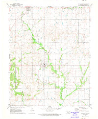
1971 · Welch South
USGS Topo · 1:24,000
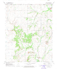
1971 · Welch NW
USGS Topo · 1:24,000