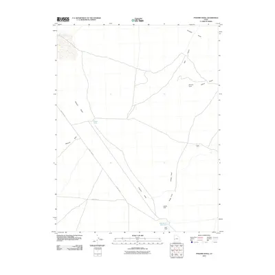
2010 Map of Pyramid Knoll
USGS Topo · Published 2010About this map
The Ferguson Desert dominates this West Desert landscape, where the wide expanses of Millard County are punctuated by distinctive geological formations. Remote ranching infrastructure is visible at Probst Corral and Hawks Nest, supported by sparse water sources like Probst Pond and the Ecks Knoll Reservoir. These features suggest a landscape managed for livestock in an arid environment, with movement dictated by the natural corridors of Jackson Canyon and the northern reach of the Confusion Range.
Find a feature on this map
15 named features on this map. Tap any name to fly to it.
Don’t see what you’re looking for? This feature index may not catch every label — zoom into the map to look around manually.
Map Details
Editions of this 2010 Pyramid Knoll Map
This is the sole edition of this map. No revisions or reprints were ever made.
Other maps of this area

1908 · Fish Springs
USGS Topo · 1:250,000

1910 · Fish Springs
USGS Topo · 1:250,000

1953 · Richfield
USGS Topo · 1:250,000

1953 · Delta
USGS Topo · 1:250,000

1958 · Richfield
USGS Topo · 1:250,000

1958 · Delta
USGS Topo · 1:250,000

1960 · Conger Range
USGS Topo · 1:62,500

1960 · Burbank Hills
USGS Topo · 1:62,500

1960 · Crystal Peak
USGS Topo · 1:62,500

1960 · Conger Mountain
USGS Topo · 1:62,500