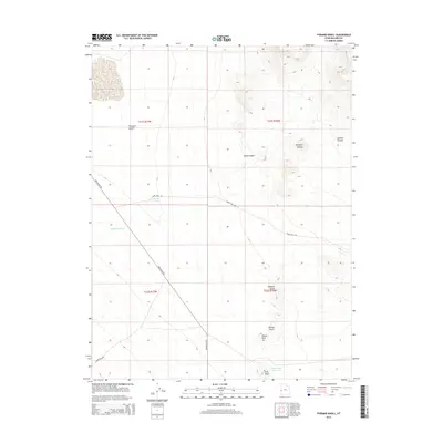
2014 Map of Pyramid Knoll
USGS Topo · Published 2014About this map
Ferguson Desert dominates the western half of this Millard County landscape, a stark expanse of the Great Basin during the early 21st century. The terrain shifts abruptly in the east toward a series of named topographic features and volcanic-like rises, including the namesake Pyramid Knoll and nearby Shotgun Knoll. The scarcity of water in this arid environment is highlighted by the presence of engineered catchments and seasonal drainages, such as Ecks Knoll Reservoir and the appropriately named Deadman Wash.
Find a feature on this map
18 named features on this map. Tap any name to fly to it.
Don’t see what you’re looking for? This feature index may not catch every label — zoom into the map to look around manually.
Map Details
Editions of this 2014 Pyramid Knoll Map
This is the sole edition of this map. No revisions or reprints were ever made.
Other maps of this area

1908 · Fish Springs
USGS Topo · 1:250,000

1910 · Fish Springs
USGS Topo · 1:250,000

1953 · Richfield
USGS Topo · 1:250,000

1953 · Delta
USGS Topo · 1:250,000

1958 · Richfield
USGS Topo · 1:250,000

1958 · Delta
USGS Topo · 1:250,000

1960 · Conger Range
USGS Topo · 1:62,500

1960 · Burbank Hills
USGS Topo · 1:62,500

1960 · Crystal Peak
USGS Topo · 1:62,500

1960 · Conger Mountain
USGS Topo · 1:62,500