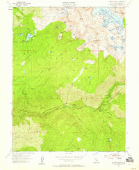
1955 Map of Pyramid Peak
USGS Topo · Published 1959About this map
Eldorado National Forest dominates this mid-century survey, revealing a landscape defined by the high peaks of the Crystal Range and a dense network of glacial lakes. In the southern portion of the quadrangle, the settlement of Strawberry and the established recreation site at Sciots Camp line the banks of the South Fork American River. This corridor served as a primary transit route through the mountains, supported by facilities like the Pyramid Guard Station and the Forty-two Mile Campground.
Find a feature on this map
65 named features on this map. Tap any name to fly to it.
Don’t see what you’re looking for? This feature index may not catch every label — zoom into the map to look around manually.
Map Details
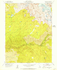
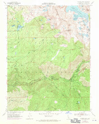
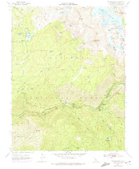
Editions of this 1955 Pyramid Peak Map
4 editions found
Other maps of this area

1889 · Pyramid Peak
USGS Topo · 1:125,000

1891 · Pyramid Peak
USGS Topo · 1:125,000

1895 · Pyramid Peak
USGS Topo · 1:125,000

1896 · Pyramid Peak
USGS Topo · 1:125,000

1947 · Sacramento
USGS Topo · 1:250,000

1948 · Sacramento
USGS Topo · 1:250,000

1951 · Leek Spring Hill
USGS Topo · 1:24,000
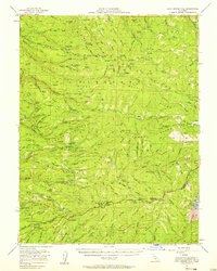
1951 · Leek Spring Hill
USGS Topo · 1:62,500
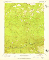
1952 · Kyburz
USGS Topo · 1:24,000
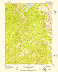
1952 · Loon Lake
USGS Topo · 1:24,000