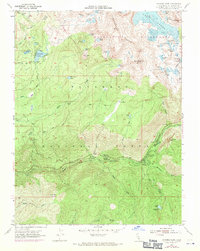
1955 Map of Pyramid Peak
USGS Topo · Published 1971About this map
Strawberry and the riverside communities of Sciots Camp and Camp Cody (BSA) anchor the southern portion of this Sierra Nevada landscape, where the South Fork of the American River cuts through the Eldorado National Forest. The map documents a significant high-altitude lake system, notably the expansive Lake Aloha and the cluster of alpine waters in the Desolation Wilderness like Heather Lake and Lake Le Conte. Evidence of early land use and seasonal habitation appears in the scattered flats and camps, such as Mortimer Flat, Fourth of July Flat, and the historical Lyons (Site). The terrain transitions from these lower seasonal outposts to the prominent heights of Pyramid Pk and Mt Price. Transportation is marked by established routes and primitive paths including the Windmiller Trail and various unnamed jeep trails, illustrating how access was managed for both forest administration at the Pyramid Guard Sta and public recreation at the Pyramid Campground and Wrights Lake areas.
Find a feature on this map
68 named features on this map. Tap any name to fly to it.
Don’t see what you’re looking for? This feature index may not catch every label — zoom into the map to look around manually.
Map Details
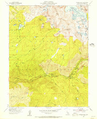
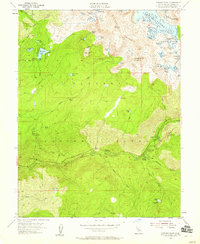
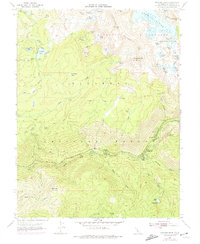
Editions of this 1955 Pyramid Peak Map
4 editions found
Other maps of this area

1889 · Pyramid Peak
USGS Topo · 1:125,000

1891 · Pyramid Peak
USGS Topo · 1:125,000

1895 · Pyramid Peak
USGS Topo · 1:125,000

1896 · Pyramid Peak
USGS Topo · 1:125,000

1947 · Sacramento
USGS Topo · 1:250,000

1948 · Sacramento
USGS Topo · 1:250,000

1951 · Leek Spring Hill
USGS Topo · 1:24,000
1951 · Leek Spring Hill
USGS Topo · 1:62,500
1952 · Kyburz
USGS Topo · 1:24,000
1952 · Loon Lake
USGS Topo · 1:24,000