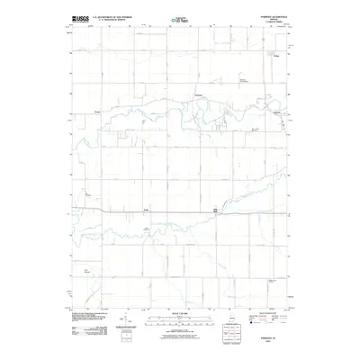
2010 Map of Pyrmont
USGS Topo · Published 2010About this map
Edna Mills and the winding course of Wildcat Creek define this rural landscape on the border of Carroll and Clinton counties. The terrain is a network of agricultural drainage ditches, including Buck Creek Ditch and Sheets Ditch, which support the intensive farming characteristic of the region. Scattered settlements like Pyrmont, Owasco, and Ockley are connected by a rigid grid of county roads, while historical family and community ties are preserved at Zion Cemetery, Swank Cemetery, and Saint Johns Cemetery. A notable geographical curiosity, The Mound, stands out in the southwest, contrasting with the engineered precision of the Barnhart Strip Airport and the complex meandering of the Middle Fork Wildcat Creek. This survey captures the enduring intersection of Indiana's water management history and its small-town civic foundations.
Find a feature on this map
68 named features on this map. Tap any name to fly to it.
Don’t see what you’re looking for? This feature index may not catch every label — zoom into the map to look around manually.
Map Details
Editions of this 2010 Pyrmont Map
This is the sole edition of this map. No revisions or reprints were ever made.
Other maps of this area

1953 · Danville
USGS Topo · 1:250,000

1955 · Danville
USGS Topo · 1:250,000

1956 · Danville
USGS Topo · 1:250,000

1961 · Mulberry
USGS Topo · 1:24,000

1961 · Pyrmont
USGS Topo · 1:24,000

1961 · Stockwell
USGS Topo · 1:24,000

1961 · Lafayette East
USGS Topo · 1:24,000

1961 · Rossville
USGS Topo · 1:24,000

1961 · Frankfort
USGS Topo · 1:24,000

1962 · Flora
USGS Topo · 1:24,000