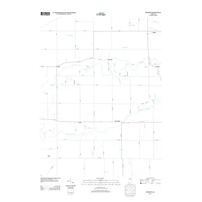
2013 Map of Pyrmont
USGS Topo · Published 2013About this map
Wildcat Cr winds through this central Indiana landscape, defining a rural corridor between the small settlements of Pyrmont and Heath. The terrain is characterized by a sophisticated network of agricultural drainage, including Shaftey Ditch, Buck Creek Ditch, and Schimmel Ditch, which manage the fertile plains. To the south, the Middle Fork Wildcat Cr creates a secondary drainage basin, joined by small tributaries like Cripe Run and Campbells Run. Small crossroads communities such as Edna Mills and Pettit serve as local anchors, while The Mound stands out as a distinctive topographic landmark south of the forks. The map also captures the residential footprint of Oak Ridge Est, showing the subtle shift from traditional agriculture toward rural residential use near the northern watercourse.
Find a feature on this map
75 named features on this map. Tap any name to fly to it.
Don’t see what you’re looking for? This feature index may not catch every label — zoom into the map to look around manually.
Map Details
Editions of this 2013 Pyrmont Map
This is the sole edition of this map. No revisions or reprints were ever made.
Other maps of this area

1953 · Danville
USGS Topo · 1:250,000

1955 · Danville
USGS Topo · 1:250,000

1956 · Danville
USGS Topo · 1:250,000

1961 · Mulberry
USGS Topo · 1:24,000

1961 · Pyrmont
USGS Topo · 1:24,000

1961 · Stockwell
USGS Topo · 1:24,000

1961 · Lafayette East
USGS Topo · 1:24,000

1961 · Rossville
USGS Topo · 1:24,000

1961 · Frankfort
USGS Topo · 1:24,000

1962 · Flora
USGS Topo · 1:24,000