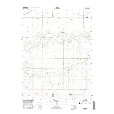
2016 Map of Pyrmont
USGS Topo · Published 2016About this map
Wildcat Creek and its branches carve a deep, winding valley through the agricultural landscape of Carroll, Clinton, and Tippecanoe counties. The small settlement of Pyrmont sits prominently along the northern bank of this waterway, while Edna Mills and Pettit occupy the southern reaches near Middle Fork Wildcat Creek. This 2016 survey documents a rural environment where land use is strictly divided by the rectangular survey system, evidenced by the grid of county roads like Base Line Rd and Township Line Rd. Genealogists will find several notable burial sites throughout the townships, including Saint Johns Cem near Owasco and Zion Cem to the west. A unique topographic feature known as The Mound stands out in the southwestern corner, providing a distinctive break in the surrounding farmland.
Find a feature on this map
61 named features on this map. Tap any name to fly to it.
Don’t see what you’re looking for? This feature index may not catch every label — zoom into the map to look around manually.
Map Details
Editions of this 2016 Pyrmont Map
This is the sole edition of this map. No revisions or reprints were ever made.
Other maps of this area

1953 · Danville
USGS Topo · 1:250,000

1955 · Danville
USGS Topo · 1:250,000

1956 · Danville
USGS Topo · 1:250,000

1961 · Mulberry
USGS Topo · 1:24,000

1961 · Pyrmont
USGS Topo · 1:24,000

1961 · Stockwell
USGS Topo · 1:24,000

1961 · Lafayette East
USGS Topo · 1:24,000

1961 · Rossville
USGS Topo · 1:24,000

1961 · Frankfort
USGS Topo · 1:24,000

1962 · Flora
USGS Topo · 1:24,000