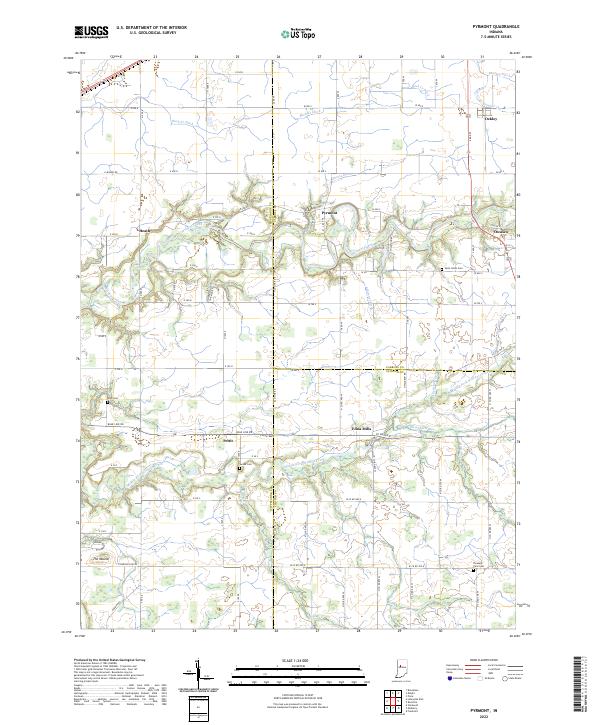
2022 Map of Pyrmont
USGS Topo · Published 2022About this map
Edna Mills and Pyrmont anchor this rural landscape where Tippecanoe, Carroll, and Clinton counties converge. The terrain is defined by the drainage patterns of Wildcat Creek and the Middle Fork Wildcat Creek, which are fed by a complex network of named ditches and runs such as Schimmel Ditch and Campbells Run. This modern survey illustrates the persistent agricultural layout of north-central Indiana, following the original Public Land Survey System grids that dictate the placement of roads like Base Line RD and Township Line RD.
Find a feature on this map
63 named features on this map. Tap any name to fly to it.
Don’t see what you’re looking for? This feature index may not catch every label — zoom into the map to look around manually.
Map Details
Editions of this 2022 Pyrmont Map
This is the sole edition of this map. No revisions or reprints were ever made.
Other maps of this area

1953 · Danville
USGS Topo · 1:250,000

1955 · Danville
USGS Topo · 1:250,000

1956 · Danville
USGS Topo · 1:250,000

1961 · Mulberry
USGS Topo · 1:24,000

1961 · Pyrmont
USGS Topo · 1:24,000

1961 · Stockwell
USGS Topo · 1:24,000

1961 · Lafayette East
USGS Topo · 1:24,000

1961 · Rossville
USGS Topo · 1:24,000

1961 · Frankfort
USGS Topo · 1:24,000

1962 · Flora
USGS Topo · 1:24,000