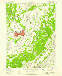
1957 Map of Quakertown
USGS Topo · Published 1958About this map
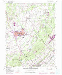
Quakertown serves as the commercial anchor of this Bucks County landscape, where mid-century suburban expansion begins to meet established agricultural townships like Richland and Haycock. The map illustrates a network of small crossroad settlements such as Applebachsville, Paletown, and Shelly, many of which maintain their distinct character before late-twentieth-century development. Moving south, the terrain descends toward Perkasie, while the eastern portion is dominated by the winding path of Tohickon Creek and the conservation boundaries of State Game Lands No 157. Local education and social life are clearly marked through landmarks like the Penridge High Sch and the Drive-in Theater, providing a detailed look at the infrastructure of the 1950s. Researchers will find significant genealogical value in the numerous smaller burial sites and rural congregations, including Tohickon Cem and St Pauls Ch, which dot the hillsides of East Rockhill.
Find a feature on this map
50 named features on this map. Tap any name to fly to it.
Don’t see what you’re looking for? This feature index may not catch every label — zoom into the map to look around manually.
Map Details
Editions of this 1957 Quakertown Map
7 editions found
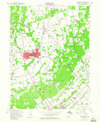
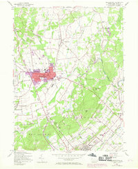
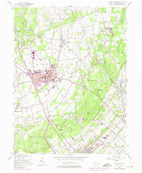
Other maps of this area

1888 · Quakertown
USGS Topo · 1:62,500

1890 · Easton
USGS Topo · 1:62,500

1890 · Doylestown
USGS Topo · 1:62,500

1890 · Quakertown
USGS Topo · 1:62,500

1891 · Easton
USGS Topo · 1:62,500

1891 · Doylestown
USGS Topo · 1:62,500

1894 · Allentown
USGS Topo · 1:62,500

1894 · Quakertown
USGS Topo · 1:62,500

1932 · Easton
USGS Topo · 1:62,500

1939 · Allentown
USGS Topo · 1:62,500