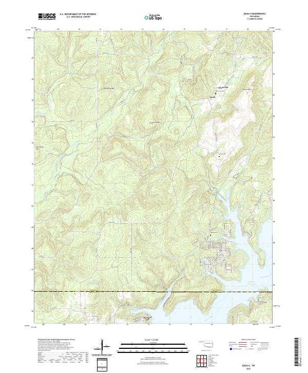
2022 Map of Qualls
USGS Topo · Published 2022About this map
Qualls and the small settlement of White Oak sit within the elevation of the Cookson Hills, where the landscape transitions from high ridges like Grapevine Mtn and Round Top Mtn down toward the winding waters of the Illinois River. This modern survey documents a topography defined by deep drainage hollows and creek beds, including Greenleaf Cr and Burnt Cabin Cr, which carve through the timbered uplands of the Cherokee Co Sequoyah Co line.
Find a feature on this map
76 named features on this map. Tap any name to fly to it.
Don’t see what you’re looking for? This feature index may not catch every label — zoom into the map to look around manually.
Map Details
Editions of this 2022 Qualls Map
This is the sole edition of this map. No revisions or reprints were ever made.
Other maps of this area

1898 · Tahlequah
USGS Topo · 1:125,000

1901 · Muscogee
USGS Topo · 1:125,000

1901 · Tahlequah
USGS Topo · 1:125,000

1905 · Muscogee
USGS Topo · 1:125,000

1905 · Tahlequah
USGS Topo · 1:125,000

1946 · Fort Smith
USGS Topo · 1:250,000

1948 · Hulbert
USGS Topo · 1:62,500

1948 · Webbers Falls
USGS Topo · 1:62,500

1950 · Hulbert
USGS Topo · 1:62,500

1950 · Webbers Falls
USGS Topo · 1:62,500