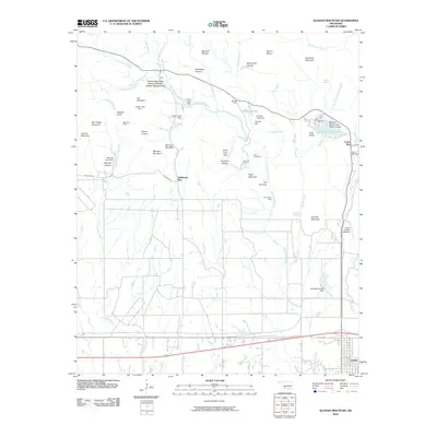
2010 Map of Quanah Mountain
USGS Topo · Published 2010About this map
The Wichita Mountains National Wildlife Refuge Headquarters serves as the administrative heart of this protected Oklahoma landscape, where the terrain is defined by granite peaks and water management. High points like Elk Mountain, Quanah Mountain, and Mount Lincoln tower over the surrounding drainages of West Cache Creek and Post Oak Creek. Historic resource extraction is evident at the Bonanza Mine and Pennington Mine, while the recreation infrastructure is well-established through sites such as Boulder Camp, Doris Campground, and the Quanah Parker Lake Visitor Center.
Find a feature on this map
60 named features on this map. Tap any name to fly to it.
Don’t see what you’re looking for? This feature index may not catch every label — zoom into the map to look around manually.
Map Details
Editions of this 2010 Quanah Mountain Map
This is the sole edition of this map. No revisions or reprints were ever made.
Other maps of this area

1937 · Cache
USGS Topo · 1:48,000

1937 · Quanah Mountain
USGS Topo · 1:24,000

1942 · Cache
USGS Topo · 1:62,500

1949 · Mount Scott
USGS Topo · 1:24,000

1949 · Cooperton
USGS Topo · 1:62,500

1949 · Quanah Mountain
USGS Topo · 1:24,000

1950 · Snyder
USGS Topo · 1:62,500

1950 · Saddle Mountain
USGS Topo · 1:62,500

1955 · Lawton
USGS Topo · 1:250,000

1956 · Post Oak Creek
USGS Topo · 1:24,000