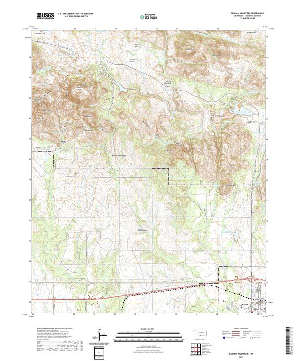
2022 Map of Quanah Mountain
USGS Topo · Published 2022About this map
The Wichita Mountains dominate this 2022 survey, showcasing a complex landscape of granite peaks and narrow canyons in Comanche County. Significant water management features define the eastern and northern reaches, including the Potawatomi Twins Reservoir, Quanah Parker Lake, and Osage Lake. The terrain is characterized by geological landmarks like the Centennial Arch and the deep passage known as The Narrows along West Cache Creek.
Find a feature on this map
99 named features on this map. Tap any name to fly to it.
Don’t see what you’re looking for? This feature index may not catch every label — zoom into the map to look around manually.
Map Details
Editions of this 2022 Quanah Mountain Map
This is the sole edition of this map. No revisions or reprints were ever made.
Other maps of this area

1937 · Cache
USGS Topo · 1:48,000

1937 · Quanah Mountain
USGS Topo · 1:24,000

1942 · Cache
USGS Topo · 1:62,500

1949 · Mount Scott
USGS Topo · 1:24,000

1949 · Cooperton
USGS Topo · 1:62,500

1949 · Quanah Mountain
USGS Topo · 1:24,000

1950 · Snyder
USGS Topo · 1:62,500

1950 · Saddle Mountain
USGS Topo · 1:62,500

1955 · Lawton
USGS Topo · 1:250,000

1956 · Post Oak Creek
USGS Topo · 1:24,000