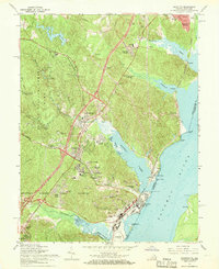
1966 Map of Quantico
USGS Topo · Published 1968About this map
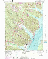
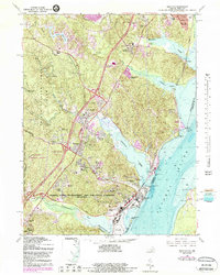
The Quantico Marine Corps Schools and its massive training grounds dominate this mid-century landscape along the western shore of the Potomac River. The base encompasses specialized facilities including the Marine Corps Air Station, Butler Stadium, and several housing areas such as Lyman Park. To the north, the historic community of Dumfries sits at the head of Quantico Creek, while the expansive Prince William Forest Park preserves the wooded interior with various camps like Hickman Camp No 1. Industrial and logistical activity is centered on the Richmond Fredericksburg and Potomac rail line, which serves the Possum Point Power Station on the riverbank. Local life is documented through numerous churches like the Star of Bethlehem Ch and the Post Chapel, alongside educational markers like Graham Park Jr High Sch and Quantico High Sch.
Find a feature on this map
73 named features on this map. Tap any name to fly to it.
Don’t see what you’re looking for? This feature index may not catch every label — zoom into the map to look around manually.
Map Details
Editions of this 1966 Quantico Map
6 editions found
Other maps of this area

1889 · Fredericksburg
USGS Topo · 1:125,000

1890 · Mt. Vernon
USGS Topo · 1:125,000

1891 · Mt. Vernon
USGS Topo · 1:125,000

1892 · Fredericksburg
USGS Topo · 1:125,000

1894 · Fredericksburg
USGS Topo · 1:125,000

1894 · Mt. Vernon
USGS Topo · 1:125,000

1897 · Mt. Vernon
USGS Topo · 1:125,000

1913 · Indian Head
USGS Topo · 1:62,500

1913 · Nanjemoy
USGS Topo · 1:62,500

1923 · Indian Head
USGS Topo · 1:48,000