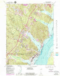
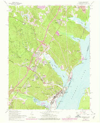
1966 Map of Quantico
USGS Topo · Published 1988About this map
The Potomac River shoreline and the deep military history of Prince William County define this 1966 topographic survey. The extensive grounds of the Marine Corps Development and Education Command (Quantico) and the Marine Corps Air Station dominate the southern half of the map, illustrating the significant federal presence at Quantico. These installations are situated alongside the Quantico Creek and the tidal flats of the river, where navigational hazards like Possum Point and Cockpit Point are clearly marked.
Find a feature on this map
59 named features on this map. Tap any name to fly to it.
Don’t see what you’re looking for? This feature index may not catch every label — zoom into the map to look around manually.
Map Details
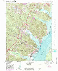
Editions of this 1966 Quantico Map
6 editions found
Other maps of this area

1889 · Fredericksburg
USGS Topo · 1:125,000

1890 · Mt. Vernon
USGS Topo · 1:125,000

1891 · Mt. Vernon
USGS Topo · 1:125,000

1892 · Fredericksburg
USGS Topo · 1:125,000

1894 · Fredericksburg
USGS Topo · 1:125,000

1894 · Mt. Vernon
USGS Topo · 1:125,000

1897 · Mt. Vernon
USGS Topo · 1:125,000

1913 · Indian Head
USGS Topo · 1:62,500

1913 · Nanjemoy
USGS Topo · 1:62,500

1923 · Indian Head
USGS Topo · 1:48,000