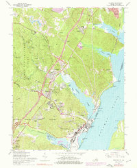
1966 Map of Quantico
USGS Topo · Published 1976About this map
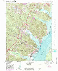
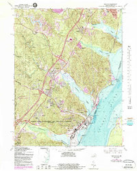
The Quantico Marine Corps Schools dominate the southern landscape of this mid-century survey, illustrating the significant military presence along the Potomac River. The terrain is shaped by the transition from the protected woodlands of Prince William Forest Park, which contains early sites like Lichtman Camp No 1 and Hardens Hill Cem, to the tidal waters of Quantico Creek. Inland, the map documents the growth of suburban enclaves like Marumsco Woods and Georgetown Village alongside established rail routes.
Find a feature on this map
67 named features on this map. Tap any name to fly to it.
Don’t see what you’re looking for? This feature index may not catch every label — zoom into the map to look around manually.
Map Details
Editions of this 1966 Quantico Map
6 editions found
Other maps of this area

1889 · Fredericksburg
USGS Topo · 1:125,000

1890 · Mt. Vernon
USGS Topo · 1:125,000

1891 · Mt. Vernon
USGS Topo · 1:125,000

1892 · Fredericksburg
USGS Topo · 1:125,000

1894 · Fredericksburg
USGS Topo · 1:125,000

1894 · Mt. Vernon
USGS Topo · 1:125,000

1897 · Mt. Vernon
USGS Topo · 1:125,000

1913 · Indian Head
USGS Topo · 1:62,500

1913 · Nanjemoy
USGS Topo · 1:62,500

1923 · Indian Head
USGS Topo · 1:48,000