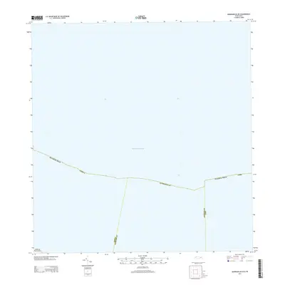
2013 Map of Quebradillas OE N
USGS Topo · Published 2013About this map
The Atlantic Ocean dominates this offshore survey, providing a perspective of the maritime boundary and coastline of northern Puerto Rico. This map documents the official jurisdictional divisions where the municipal boundaries of Isabela, Quebradillas, and Camuy extend into the sea. While the terrestrial portion of the Island of Puerto Rico is limited to the bottom edge of the sheet, the map serves as a primary record of how these coastal municipalities interface with the open ocean. The survey captures the exact coordinates of the municipal lines as they were defined in 2013, illustrating the legal geography of the island's northern shelf.
Find a feature on this map
6 named features on this map. Tap any name to fly to it.
Don’t see what you’re looking for? This feature index may not catch every label — zoom into the map to look around manually.
Map Details
Editions of this 2013 Quebradillas OE N Map
This is the sole edition of this map. No revisions or reprints were ever made.
Other maps of this area

1937 · Moca
USGS Topo · 1:20,000

1938 · Camuy
USGS Topo · 1:20,000

1938 · Quebradillas
USGS Topo · 1:20,000

1941 · Moca
USGS Topo · 1:30,000

1941 · Isabela
USGS Topo · 1:30,000

1942 · Moca
USGS Topo · 1:30,000

1942 · Camuy
USGS Topo · 1:30,000
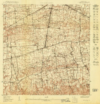
1950 · Moca NE
USGS Topo · 1:10,000
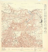
1950 · Quebradillas NO
USGS Topo · 1:10,000
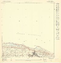
1950 · Isabela SE
USGS Topo · 1:10,000