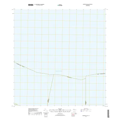
2018 Map of Quebradillas OE N
USGS Topo · Published 2018About this map
The Atlantic Ocean dominates this 2018 coastal survey, illustrating the northern maritime boundaries of Puerto Rico. This map focuses on the offshore and shoreline interface where the municipalities of Isabela, Quebradillas, and Camuy meet the sea. The cartography emphasizes administrative divisions rather than inland development, providing a clear view of how these regional jurisdictions are apportioned along the coast. While the land area is limited, the precision of the municipal boundaries against the Atlantic backdrop serves as a definitive record of territorial lines in this part of the island.
Find a feature on this map
7 named features on this map. Tap any name to fly to it.
Don’t see what you’re looking for? This feature index may not catch every label — zoom into the map to look around manually.
Map Details
Editions of this 2018 Quebradillas OE N Map
This is the sole edition of this map. No revisions or reprints were ever made.
Other maps of this area

1937 · Moca
USGS Topo · 1:20,000

1938 · Camuy
USGS Topo · 1:20,000

1938 · Quebradillas
USGS Topo · 1:20,000

1941 · Moca
USGS Topo · 1:30,000

1941 · Isabela
USGS Topo · 1:30,000

1942 · Moca
USGS Topo · 1:30,000

1942 · Camuy
USGS Topo · 1:30,000
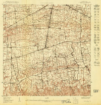
1950 · Moca NE
USGS Topo · 1:10,000
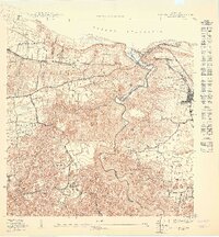
1950 · Quebradillas NO
USGS Topo · 1:10,000
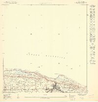
1950 · Isabela SE
USGS Topo · 1:10,000