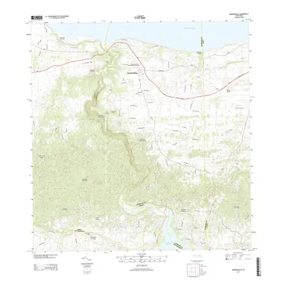
2013 Map of Quebradillas
USGS Topo · Published 2013About this map
Quebradillas sits atop a limestone plateau overlooking the Atlantic Ocean on the northwest coast of the Island of Puerto Rico. This 2013 survey reveals the intricate road network of the municipality, including Avenida Monserrate and PR-113, which serve a population center punctuated by the San Rafael de las Quebradillas Cemetery. The terrain transitions south from coastal cliffs into the Montañas Aymamón, where the Río Guajataca carves a deep canyon through the karst landscape. This river valley leads toward the Lago de Guajataca, a critical inland water feature. The map highlights the rugged interior topology, with peaks such as Cerro de la Bandera and Cerro del Indio rising above the surrounding valleys. The geography here is defined by numerous drainage ravines, or quebradas, including Quebrada Columbiana and Quebrada Margarita, which illustrate the complex drainage patterns of this tropical environment.
Find a feature on this map
77 named features on this map. Tap any name to fly to it.
Don’t see what you’re looking for? This feature index may not catch every label — zoom into the map to look around manually.
Map Details
Editions of this 2013 Quebradillas Map
This is the sole edition of this map. No revisions or reprints were ever made.
Other maps of this area

1937 · Moca
USGS Topo · 1:20,000

1938 · Alto Sano
USGS Topo · 1:20,000

1938 · Camuy
USGS Topo · 1:20,000

1938 · San Sebastian
USGS Topo · 1:20,000

1938 · Quebradillas
USGS Topo · 1:20,000

1941 · Moca
USGS Topo · 1:30,000

1941 · Isabela
USGS Topo · 1:30,000

1941 · San Sebastian
USGS Topo · 1:30,000

1942 · Moca
USGS Topo · 1:30,000

1942 · Central La Plata
USGS Topo · 1:30,000
Featured Places
- Quebradillas
- Urbanización Vista al Calvario, Camuy
- Brisas de la Sabana, Camuy
- Hacienda La Sabana, Camuy
- Reparto Apolonio Vélez Ramos, Isabela