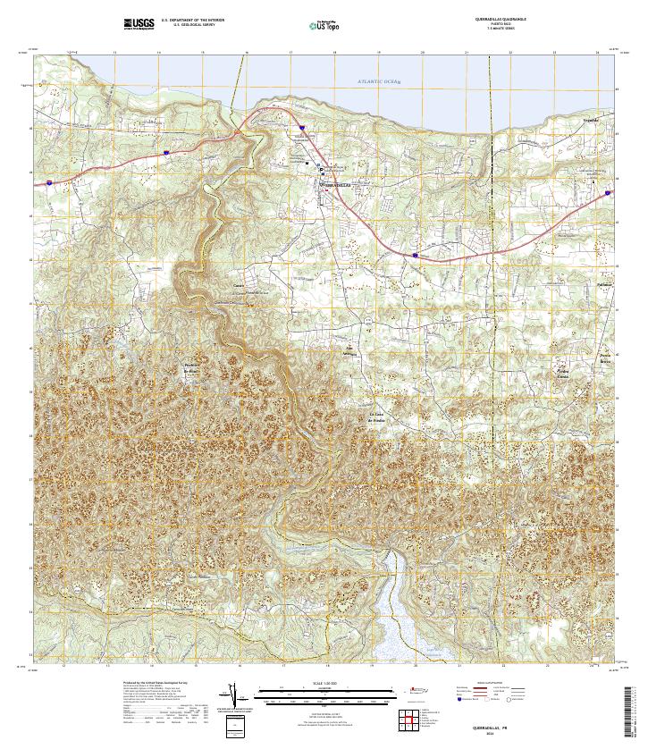
2024 Map of Quebradillas
USGS Topo · Published 2024About this map
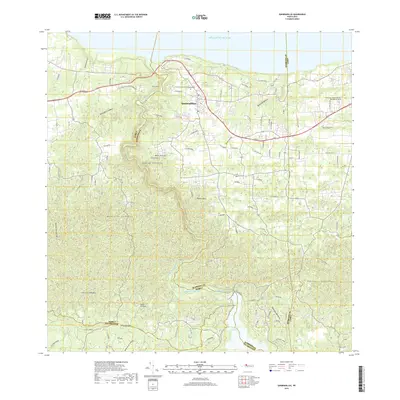
The northern coast of Puerto Rico meets the Atlantic Ocean at Quebradillas, where the terrain rises sharply from the sea into the Montanas Aymamon. This modern survey reveals a landscape of limestone karsts and deep valleys, most notably where the Rio Guajataca winds through the interior toward its namesake reservoir, Lago de Guajataca, at the southern boundary. The spatial organization of the region is defined by the PR-2 corridor, which anchors northern settlements like Yeguada and Piedra Gorda.
Find a feature on this map
121 named features on this map. Tap any name to fly to it.
Don’t see what you’re looking for? This feature index may not catch every label — zoom into the map to look around manually.
Map Details
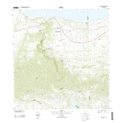
Editions of this 2024 Quebradillas Map
This is the sole edition of this map. No revisions or reprints were ever made.
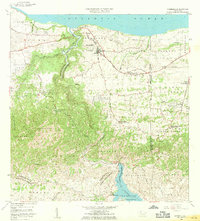
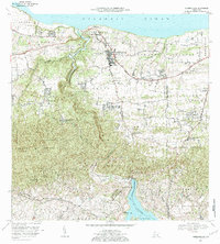
Historical Maps of Quebradillas Through Time
6 maps found

Featured Locations
- Brisas de la Sabana, Camuy
- Hacienda La Sabana, Camuy
- Urbanización Vista al Calvario, Camuy
- Sector Lito Ramos, San Sebastián
- Quebradillas, Quebradillas