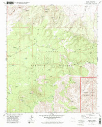
1979 Map of Queen
USGS Topo · Published 1979About this map
Queen and the surrounding high desert terrain of the Lincoln National Forest dominate this landscape, characterized by a complex network of canyons and water sources. Ranching and forest management history is evident through features like the Ranger Cabin, Putman Cabin, and numerous livestock watering points such as Kite Windmill, Cowboy Tank, and Bearup Well. The local community's footprint is marked by the Queen Cem and Guadalupe Church Camp near the main settlement area.
Find a feature on this map
55 named features on this map. Tap any name to fly to it.
Don’t see what you’re looking for? This feature index may not catch every label — zoom into the map to look around manually.
Map Details
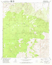
Editions of this 1979 Queen Map
2 editions found
Other maps of this area

1935 · El Paso Gap
USGS Topo · 1:62,500

1936 · El Paso Gap
USGS Topo · 1:48,000

1940 · El Paso Gap
USGS Topo · 1:62,500

1940 · Bandanna Point
USGS Topo · 1:62,500

1940 · Carlsbad Caverns West
USGS Topo · 1:62,500

1943 · Carlsbad Caverns West
USGS Topo · 1:62,500

1943 · Bandanna Point
USGS Topo · 1:62,500

1943 · Texas Hill
USGS Topo · 1:62,500

1945 · Texas Hill
USGS Topo · 1:62,500

1954 · Carlsbad
USGS Topo · 1:250,000