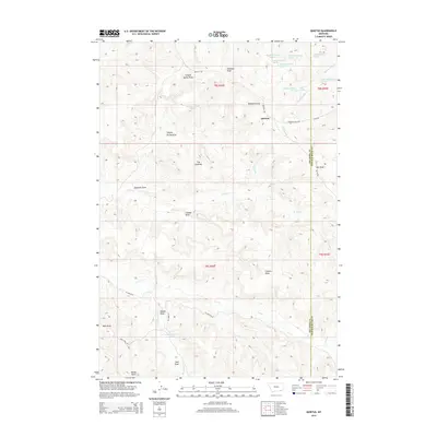
2014 Map of Quietus
USGS Topo · Published 2014About this map
Quietus stands at a high-elevation junction in the southern Montana borderlands, where the terrain is defined by a dense network of coulees and seasonal watercourses. The landscape is marked by prominent landforms such as The Pyramid and numerous deeply etched drainages like Stagmire Draw and Canyon Spring Draw. Ranching life and local transit are represented by established routes including 76 Ranch Rd, Quietus Rd, and Sonnette Sayle Rd.
Find a feature on this map
41 named features on this map. Tap any name to fly to it.
Don’t see what you’re looking for? This feature index may not catch every label — zoom into the map to look around manually.
Map Details
Editions of this 2014 Quietus Map
This is the sole edition of this map. No revisions or reprints were ever made.
Other maps of this area

1954 · Hardin
USGS Topo · 1:250,000

1955 · Sheridan
USGS Topo · 1:250,000

1957 · Hardin
USGS Topo · 1:250,000

1958 · Hardin
USGS Topo · 1:250,000

1958 · Sheridan
USGS Topo · 1:250,000

1962 · Sheridan
USGS Topo · 1:250,000
1971 · Roundup Draw
USGS Topo · 1:24,000

1971 · Cabin Creek NW
USGS Topo · 1:24,000
1971 · Box Elder Draw
USGS Topo · 1:24,000
1972 · Stroud Creek
USGS Topo · 1:24,000