
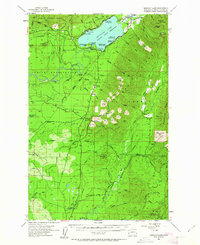
1955 Map of Quinault Lake
USGS Topo · Published 1957About this map
Quinault Lake serves as the focal point for this mid-century landscape where timber interests and federal conservation efforts converge. The map illustrates a developed recreation and administrative corridor along the north and south shores, featuring the Indian Affairs Forestry Sta, Quinault Lake School, and several established sites like Amanda Park and Camp Baldy. A sprawling Logging RR network and the Quinault Indian Reservation Railroad cut through the timberlands, signaling the heavy industrial focus of the era.
Find a feature on this map
62 named features on this map. Tap any name to fly to it.
Don’t see what you’re looking for? This feature index may not catch every label — zoom into the map to look around manually.
Map Details
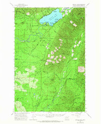
Editions of this 1955 Quinault Lake Map
3 editions found
Other maps of this area

1921 · Quinault Lake
USGS Topo · 1:62,500

1921 · Satsop
USGS Topo · 1:62,500

1938 · Moclips
USGS Topo · 1:62,500

1941 · Mobray
USGS Topo · 1:62,500

1941 · Moclips
USGS Topo · 1:62,500

1943 · Humptulips
USGS Topo · 1:62,500

1943 · Mobray
USGS Topo · 1:62,500

1943 · Copalis Beach
USGS Topo · 1:250,000

1947 · Mt Christie
USGS Topo · 1:62,500

1950 · Mt Christie
USGS Topo · 1:62,500