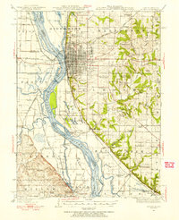
1944 Map of Quincy
USGS Topo · Published 1956About this map
The Mississippi River defines the complex border between Illinois and Missouri on this mid-century survey, creating a landscape of shifting islands and backwater lakes. The city of Quincy dominates the eastern bluffs, showing a dense grid of streets that transition into the rolling hills of Melrose and Ellington. To the north, the Soldiers Home stands as a prominent landmark near North Quincy. The bottomlands across the river are heavily managed for navigation and flood control, evidenced by the Durgen Creek Diversion Ditch and numerous pumping stations. Local transport is anchored by the Chicago Burlington and Quincy RR and the Wabash RR, which connect the industrial riverside, including a distillery and mill, to the broader region. Scattered throughout the rural hinterland are dozens of named schoolhouses like Mound School and Hickory Grove School, reflecting the era's decentralized educational system.
Find a feature on this map
102 named features on this map. Tap any name to fly to it.
Don’t see what you’re looking for? This feature index may not catch every label — zoom into the map to look around manually.
Map Details
Editions of this 1944 Quincy Map
5 editions found

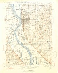
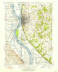
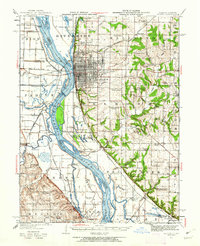
Other maps of this area

1903 · Kahoka
USGS Topo · 1:125,000

1903 · Palmyra
USGS Topo · 1:125,000

1925 · Quincy
USGS Topo · 1:62,500

1925 · Liberty
USGS Topo · 1:62,500

1927 · Liberty
USGS Topo · 1:62,500

1931 · Barry
USGS Topo · 1:62,500

1932 · Hannibal
USGS Topo · 1:62,500

1936 · Hannibal
USGS Topo · 1:48,000

1936 · Barry
USGS Topo · 1:48,000

1944 · Barry
USGS Topo · 1:62,500