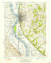
1944 Map of Quincy
USGS Topo · Published 1956About this map
Quincy dominates this Mississippi River corridor as a major 1940s rail and industrial hub, defined by the extensive operations of the Chicago Burlington and Quincy RR. The map captures the complex river geography before major modern alterations, showing a landscape of seasonal sloughs and islands like Cottonwood Island and Fabius Island. Beyond the urban core, the upland areas of Ellington and Melrose are densely settled with landmark institutions, including the Soldiers Home and numerous parochial and rural schools such as St Ludgerus School and Hickory Grove School. A notable industrial detail is the Distillery located south of the city near Mound School. The river bottoms reveal a different economy of Pumping Stations and drainage projects like the Durgen Creek Diversion Ditch, critical for maintaining the agricultural viability of the floodplains in both Illinois and Missouri.
Find a feature on this map
107 named features on this map. Tap any name to fly to it.
Don’t see what you’re looking for? This feature index may not catch every label — zoom into the map to look around manually.
Map Details
Editions of this 1944 Quincy Map
5 editions found

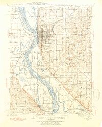
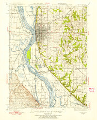
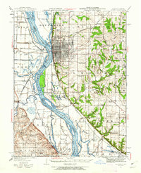
Other maps of this area

1903 · Kahoka
USGS Topo · 1:125,000

1903 · Palmyra
USGS Topo · 1:125,000

1925 · Quincy
USGS Topo · 1:62,500

1925 · Liberty
USGS Topo · 1:62,500

1927 · Liberty
USGS Topo · 1:62,500

1931 · Barry
USGS Topo · 1:62,500

1932 · Hannibal
USGS Topo · 1:62,500

1936 · Hannibal
USGS Topo · 1:48,000

1936 · Barry
USGS Topo · 1:48,000

1944 · Barry
USGS Topo · 1:62,500