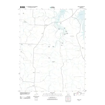
2011 Map of Quincy
USGS Topo · Published 2011About this map
The settlement of Quincy anchor's the southern portion of this Hickory County landscape, while Bentonville sits further north along a network of county roads. The terrain is deeply defined by the winding course of the Little Pomme de Terre River and Hogles Creek, which flow toward the northern reaches of the Harry S Truman Reservoir. This area is characterized by numerous hollows and ridges, including the prominent Limestone Ridge and Tick Ridge, creating a dissected topography that has historically influenced local road patterns.
Find a feature on this map
54 named features on this map. Tap any name to fly to it.
Don’t see what you’re looking for? This feature index may not catch every label — zoom into the map to look around manually.
Map Details
Editions of this 2011 Quincy Map
This is the sole edition of this map. No revisions or reprints were ever made.
Other maps of this area

1884 · Bolivar
USGS Topo · 1:125,000

1886 · Stockton
USGS Topo · 1:125,000

1887 · Clinton
USGS Topo · 1:125,000

1887 · Warsaw
USGS Topo · 1:125,000

1892 · Bolivar
USGS Topo · 1:125,000

1894 · Warsaw
USGS Topo · 1:125,000

1894 · Clinton
USGS Topo · 1:125,000

1935 · Dell
USGS Topo · 1:24,000

1940 · Weaubleau
USGS Topo · 1:24,000

1940 · Iconium
USGS Topo · 1:24,000