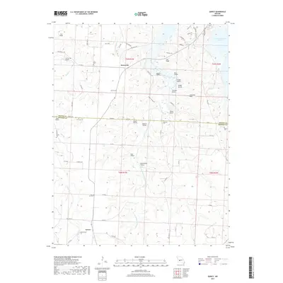
2017 Map of Quincy
USGS Topo · Published 2017About this map
Quincy and Bentonville serve as the primary anchors for this survey of the northern Ozarks borderlands, where the landscape transitions into the waters of the Harry S Truman Reservoir. The terrain is defined by a dense network of drainages including the Little Pomme de Terre River and Hogles Cr, which carve out numerous named hollows such as Button Hollow and Buck Hollow. For local historians and genealogists, the map is remarkably dense with burial sites that reflect the area's early settlement patterns. Small community landmarks like Mount Zion Cem, Shiloh Cem, and Cobb Cem are preserved alongside larger family-named cemeteries like Harper Cem and Bird Cem. The presence of modern road names like Psalms Way and Jerusalem Trl in the northern portion suggests more recent cultural developments alongside the established agricultural and timber-oriented rural infrastructure.
Find a feature on this map
74 named features on this map. Tap any name to fly to it.
Don’t see what you’re looking for? This feature index may not catch every label — zoom into the map to look around manually.
Map Details
Editions of this 2017 Quincy Map
This is the sole edition of this map. No revisions or reprints were ever made.
Other maps of this area

1884 · Bolivar
USGS Topo · 1:125,000

1886 · Stockton
USGS Topo · 1:125,000

1887 · Clinton
USGS Topo · 1:125,000

1887 · Warsaw
USGS Topo · 1:125,000

1892 · Bolivar
USGS Topo · 1:125,000

1894 · Warsaw
USGS Topo · 1:125,000

1894 · Clinton
USGS Topo · 1:125,000

1935 · Dell
USGS Topo · 1:24,000

1940 · Weaubleau
USGS Topo · 1:24,000

1940 · Iconium
USGS Topo · 1:24,000