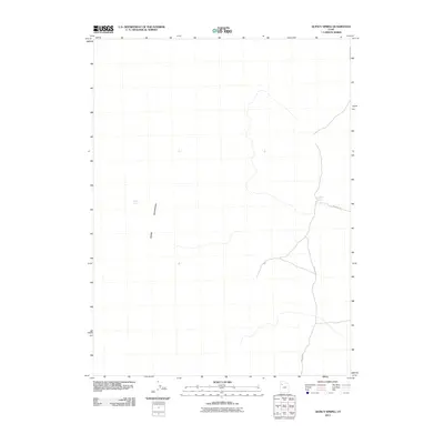
2011 Map of Quincy Spring
USGS Topo · Published 2011About this map
The western slopes of the Cedar Mountains define this arid landscape, where survival and movement depend on rare water sources. Quincy Spring sits tucked against the mountain range, while Eightmile Spring serves as a critical point farther east. These natural features are connected by the winding path of Rydalch Rd, a thoroughfare that navigates the high desert terrain. This 2011 survey by the U.S. Geological Survey documents the sparse infrastructure of this region in Tooele County, illustrating how modern mapping still relies on these perennial landmarks to define the geography of the Great Basin.
Find a feature on this map
4 named features on this map. Tap any name to fly to it.
Don’t see what you’re looking for? This feature index may not catch every label — zoom into the map to look around manually.
Map Details
Editions of this 2011 Quincy Spring Map
This is the sole edition of this map. No revisions or reprints were ever made.
Other maps of this area

1885 · Tooele Valley
USGS Topo · 1:250,000

1953 · Tooele
USGS Topo · 1:250,000

1955 · Tabbys Peak
USGS Topo · 1:24,000

1955 · Wig Mtn NE
USGS Topo · 1:24,000

1955 · Tooele
USGS Topo · 1:250,000

1973 · Hastings Pass NE
USGS Topo · 1:24,000

1973 · Quincy Spring
USGS Topo · 1:24,000

1973 · Hastings Pass
USGS Topo · 1:24,000

1973 · Aragonite SE
USGS Topo · 1:24,000

1973 · Hickman Knolls
USGS Topo · 1:24,000