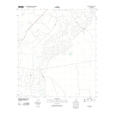
2010 Map of Quintana
USGS Topo · Published 2010About this map
Tom O'Connor Oil Field and the surrounding energy landscape dominate this coastal prairie region of Refugio County. The mapping reveals a specialized infrastructure of rural ranching and industrial extraction, where the Mellon Ranch Airport serves a territory punctuated by the Fox Oil Field and Melon Creek Oil Field. The small settlement of Quintana sits near the headwaters of Alameda Creek, part of a drainage system that includes Melon Creek and Copano Creek flowing toward the Gulf. This 2010 survey illustrates the persistence of large family-named holdings like Lambert Ranch alongside modern petroleum operations. The network of service roads, including Quintana Rd and FM 774, links these remote production sites with the nearby wetlands of Mustang Lake.
Find a feature on this map
13 named features on this map. Tap any name to fly to it.
Don’t see what you’re looking for? This feature index may not catch every label — zoom into the map to look around manually.
Map Details
Editions of this 2010 Quintana Map
This is the sole edition of this map. No revisions or reprints were ever made.
Other maps of this area

1953 · Beeville
USGS Topo · 1:250,000

1954 · Rockport
USGS Topo · 1:62,500

1954 · Woodsboro
USGS Topo · 1:62,500

1954 · Vidaurri
USGS Topo · 1:62,500

1954 · Refugio
USGS Topo · 1:62,500

1956 · Beeville
USGS Topo · 1:250,000

1960 · Beeville
USGS Topo · 1:250,000

1978 · Woodsboro
USGS Topo · 1:24,000

1978 · Ryanville
USGS Topo · 1:24,000

1978 · Vidaurri
USGS Topo · 1:24,000