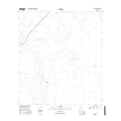
2016 Map of Quintana
USGS Topo · Published 2016About this map
Melon Creek and its smaller tributary Melon Cr wind through this coastal Texas landscape, defining a region where ranching and local aviation intersect. The presence of the Melon Ranch Airport south of FM 774 highlights the role of private airfield infrastructure in managing large landholdings in Refugio County. The terrain is characterized by low-lying wetlands and intermittent water bodies, most notably the seasonal expanse of Mustang Lake. Local transit relies on a network of named tracks such as Melon Ranch Rd and T-C Oil Rd, the latter suggesting the historical importance of petroleum extraction in the area. Drainage patterns across the quadrangle are further shaped by Alameda Cr and Copano Cr, which flow toward the nearby Gulf coast systems.
Find a feature on this map
12 named features on this map. Tap any name to fly to it.
Don’t see what you’re looking for? This feature index may not catch every label — zoom into the map to look around manually.
Map Details
Editions of this 2016 Quintana Map
This is the sole edition of this map. No revisions or reprints were ever made.
Other maps of this area

1953 · Beeville
USGS Topo · 1:250,000

1954 · Rockport
USGS Topo · 1:62,500

1954 · Woodsboro
USGS Topo · 1:62,500

1954 · Vidaurri
USGS Topo · 1:62,500

1954 · Refugio
USGS Topo · 1:62,500

1956 · Beeville
USGS Topo · 1:250,000

1960 · Beeville
USGS Topo · 1:250,000

1978 · Woodsboro
USGS Topo · 1:24,000

1978 · Ryanville
USGS Topo · 1:24,000

1978 · Vidaurri
USGS Topo · 1:24,000