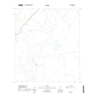
2019 Map of Quintana
USGS Topo · Published 2019About this map
Melon Creek and its various tributaries define this section of Refugio County, where the coastal prairie landscape remains largely dominated by ranching and light aviation. The presence of the Mellon Ranch Airport south of Fm 774 highlights the importance of private airfields in managing these expansive Texas landholdings. To the east, the terrain transitions into the wetlands surrounding Mustang Lake and the drainage of Alameda Cr. The map reveals a sparse network of rural routes including Quintana Rd and Lambert Rd, which serve scattered ranch structures. This 2019 survey documents a landscape of intermittent watercourses like Copano Cr and established agricultural boundaries, reflecting the enduring rural character of the region near the Gulf Coast.
Find a feature on this map
11 named features on this map. Tap any name to fly to it.
Don’t see what you’re looking for? This feature index may not catch every label — zoom into the map to look around manually.
Map Details
Editions of this 2019 Quintana Map
This is the sole edition of this map. No revisions or reprints were ever made.
Other maps of this area

1953 · Beeville
USGS Topo · 1:250,000

1954 · Rockport
USGS Topo · 1:62,500

1954 · Woodsboro
USGS Topo · 1:62,500

1954 · Vidaurri
USGS Topo · 1:62,500

1954 · Refugio
USGS Topo · 1:62,500

1956 · Beeville
USGS Topo · 1:250,000

1960 · Beeville
USGS Topo · 1:250,000

1978 · Woodsboro
USGS Topo · 1:24,000

1978 · Ryanville
USGS Topo · 1:24,000

1978 · Vidaurri
USGS Topo · 1:24,000