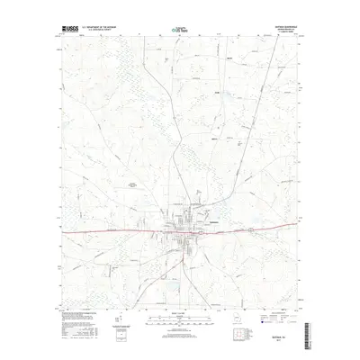
1977 Map of Quitman
USGS Topo · Published 1978About this map
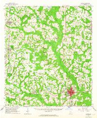
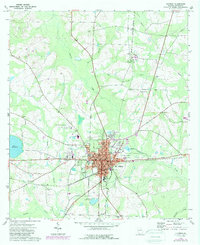
The Brooks County seat of Quitman serves as the hub of this South Georgia landscape during the late 1970s. The town's grid is dense with civic infrastructure, including the Armory, City Hall, and several local schools like the County Jr High Sch. The Seaboard Coast Line railroad cuts through the heart of the settlement, emphasizing the region's historical reliance on rail for transporting agricultural goods. Outside the town center, the terrain is defined by a network of waterways including Okapilco Creek, Coon Creek, and the Bowen Millpond to the west. Scattered rural communities such as Spain, Fodie, and Shiver are marked by their local landmarks, particularly country churches and cemeteries like Mt Carmel Ch and Concord Cem, which provide significant points of interest for genealogists tracing family roots in this corner of the state.
Find a feature on this map
38 named features on this map. Tap any name to fly to it.
Don’t see what you’re looking for? This feature index may not catch every label — zoom into the map to look around manually.
Map Details
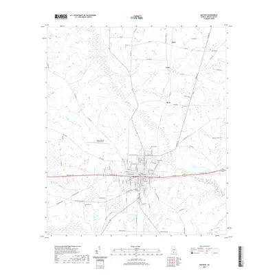
Editions of this 1977 Quitman Map
This is the sole edition of this map. No revisions or reprints were ever made.
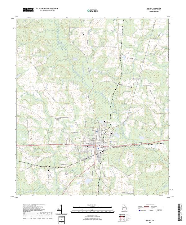
Historical Maps of Quitman Through Time
8 maps found