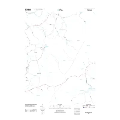
2013 Map of Rachelwood
USGS Topo · Published 2013About this map
Baldwin Furnace and the namesake settlement of Rachelwood anchor this 2013 survey of the Laurel Highlands. The landscape is defined by its complex hydrography, where the Conemaugh River flows in the northwest and numerous mountain streams like Tubmill Cr, Shannon Run, and Lick Run carve through the terrain. Significant water management features are evident, including the Sugar Run Reservoir, Tubmill Reservoir, and North Fork Reservoir, reflecting the region's role in local water resources. The southern portion of the quadrangle includes a section of Laurel Ridge State Park, while specialized sites such as Camp Twin Echo and Camp Wood Echo occupy the western slopes. A network of rural routes, including Menoher Hwy and Pa-711, connects these wooded reaches and high-elevation drainages.
Find a feature on this map
62 named features on this map. Tap any name to fly to it.
Don’t see what you’re looking for? This feature index may not catch every label — zoom into the map to look around manually.
Map Details
Editions of this 2013 Rachelwood Map
This is the sole edition of this map. No revisions or reprints were ever made.
Other maps of this area

1904 · Johnstown
USGS Topo · 1:62,500

1907 · Johnstown
USGS Topo · 1:62,500

1913 · Somerset
USGS Topo · 1:62,500

1914 · Windber
USGS Topo · 1:62,500

1915 · Somerset
USGS Topo · 1:62,500

1916 · Windber
USGS Topo · 1:62,500

1920 · New Florence
USGS Topo · 1:62,500

1921 · New Florence
USGS Topo · 1:48,000

1922 · New Florence
USGS Topo · 1:62,500

1944 · Somerset
USGS Topo · 1:62,500
Featured Places
- Conemaugh Township, PA
- Fairfield Township, PA
- Jenner Township, PA
- Rachelwood, Fairfield Township
- Saint Clair Township, PA