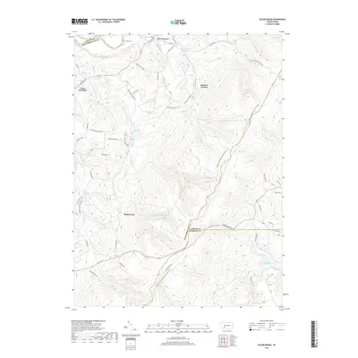
2019 Map of Rachelwood
USGS Topo · Published 2019About this map
Baldwin Furnace and the winding course of the Conemaugh River anchor this 2019 survey of the Laurel Highlands borderlands. The landscape is defined by its complex topography and water systems, where the Westmoreland, Somerset, and Cambria county lines meet amidst the steep slopes of the Laurel Ridge. Local history is preserved in sites like Legat Cem near New Florence and Roddy Cem to the east, offering important touchpoints for genealogical research. The map documents significant modern infrastructure and recreation, including the North Fork Reservoir and the long-distance Potomac Heritage National Scenic Trail. From the residential pocket of Rachelwood to the rural expanses near West Fairfield, the sheet illustrates the enduring character of this mountainous region, where old routes like the Ligonier Pike continue to serve as primary corridors.
Find a feature on this map
70 named features on this map. Tap any name to fly to it.
Don’t see what you’re looking for? This feature index may not catch every label — zoom into the map to look around manually.
Map Details
Editions of this 2019 Rachelwood Map
This is the sole edition of this map. No revisions or reprints were ever made.
Other maps of this area

1904 · Johnstown
USGS Topo · 1:62,500

1907 · Johnstown
USGS Topo · 1:62,500

1913 · Somerset
USGS Topo · 1:62,500

1914 · Windber
USGS Topo · 1:62,500

1915 · Somerset
USGS Topo · 1:62,500

1916 · Windber
USGS Topo · 1:62,500

1920 · New Florence
USGS Topo · 1:62,500

1921 · New Florence
USGS Topo · 1:48,000

1922 · New Florence
USGS Topo · 1:62,500

1944 · Somerset
USGS Topo · 1:62,500
Featured Places
- Conemaugh Township, PA
- Fairfield Township, PA
- Jenner Township, PA
- Rachelwood, Fairfield Township
- Saint Clair Township, PA