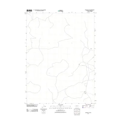
2011 Map of Rackett SE
USGS Topo · Published 2011About this map
The high plains of Garden County are defined here by a sparse network of ranching outposts and sandy roads. This 2011 survey illustrates the isolated nature of the landscape, where vast stretches of terrain are punctuated only by named family operations such as Carson Ranch in the northeast and Seeley Ranch in the southeast corner. These outposts serve as vital hubs for the regional cattle economy, connected by a few critical arteries like Road 215 and Rushcreek Rd. Unlike more densely settled regions, the presence of Avery Camp suggests the seasonal or specialized use of the land, reflecting a pattern of cattle management and remote living that has persisted in the Nebraska Sandhills for generations.
Find a feature on this map
5 named features on this map. Tap any name to fly to it.
Don’t see what you’re looking for? This feature index may not catch every label — zoom into the map to look around manually.
Map Details
Editions of this 2011 Rackett SE Map
This is the sole edition of this map. No revisions or reprints were ever made.
Other maps of this area

1897 · Ogallala
USGS Topo · 1:125,000

1900 · Chappell
USGS Topo · 1:125,000

1900 · Ogallala
USGS Topo · 1:125,000

1949 · Rackett
USGS Topo · 1:62,500

1950 · Velma
USGS Topo · 1:62,500

1951 · Rackett
USGS Topo · 1:62,500

1954 · Scottsbluff
USGS Topo · 1:250,000

1954 · North Platte
USGS Topo · 1:250,000

1956 · North Platte
USGS Topo · 1:250,000

1957 · North Platte
USGS Topo · 1:250,000